
Starting grant for the investigation of the forgotten landscapes of World War II
PhD candidate Wouter Verschoof-van der Vaart has received the Stichting Elise Mathilde Fonds grant from the Leids Universiteits Fonds (LUF) to work on a research project focusing on the landscapes of the Second World War. ‘We will combine citizen science with deep learning to uncover traces of the conflict.’

Scars of War
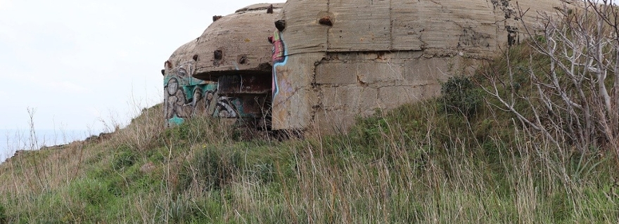
The central part of the Netherlands has been the theater of many military events during the Second World War. ‘From the German invasion to Operation Market Garden, these conflicts have scarred the landscape,’ Verschoof-van der Vaart explains. ‘Many of these traces are undocumented and more or less forgotten, like trenches, bomb craters, and munition depots.’
However, citizen researchers involved in the project Heritage Quest, mainly focused on the study of detailed altitude (LiDAR) maps in order to find (pre)historic traces, noticed many more modern traces from World War II as well. ‘We decided to take the learnings from Heritage Quest and apply this to the heritage of the Second World War. Algorithms I developed during my PhD research, aimed at detecting prehistoric traces, are now going to be used to detect remains of this modern conflict.’
An extra layer
Given the relatively recent events of World War II, you could wonder what the application of archaeology would contribute to our knowledge of this period. ‘We are getting to a point that people who were alive during this period are unfortunately no longer among us, thus we lose information from eye-witnesses of these events,’ Verschoof-van der Vaart replies. ‘Furthermore, while we now mostly rely on historical sources, we all know these sources are always written from a certain point of view. Certain aspects can be covered up, or not really talked about.’ Archaeology, thus, can add an extra layer of information that may change our conventional views on this period.

Patterns
The outcomes of this project will be high-resolution maps depicting traces of conflict in the central part of the Netherlands. These will not only help with the management and protection of this heritage, but also offer an overview of the conflict landscape. Instead of only looking at individual objects, a review of the wider landscape may lead to completely new perspectives. ‘We may see how this landscape was changed in a very short time. When patterns emerge a clearer image of certain periods and events may be the result.

Preliminary investigation
The project will start with manually creating a dataset. ‘We need to train the algorithm based on a piece of the landscape that has been manually mapped. Then we will move on to the citizen science part, where citizens will help us find traces of the Second World War in the LiDAR maps. These results will then be meaningfully combined with another algorithm.’ This preliminary investigation, funded by the Stichting Elise Mathilde Fonds (LUF), will take 8 months. ‘After doing the groundwork, we can apply for a larger grant. We are not the only ones interested in this idea and period, so we intend to put this in a broader research team. Perhaps go for an NWA or Horizon’s Europe grant.’ It is clear that we need to keep an eye on this project.